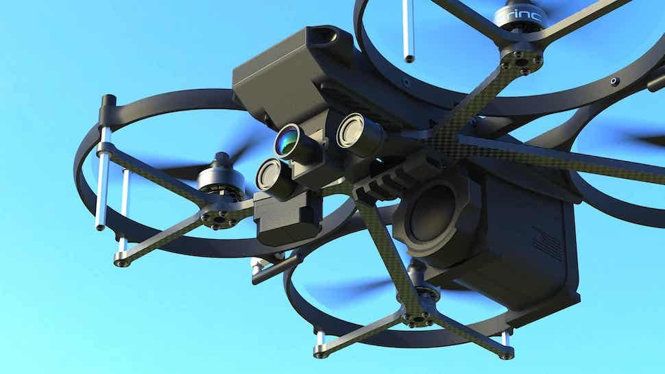
Beyond "Government Drones": Five New, Function-Specific Drone Market Landscapes
For a long time, "government drones" was a perfectly good label. When a city's main question was "should we buy some?", a single Market Landscape covered it.
That catch-all doesn't hold up anymore. The teams we work with are building very different drone programs: a police department stands up a Drone as First Responder program with dispatch integration and FAA waivers; a public works department flies LiDAR missions over county infrastructure; a corrections facility procures sensors to keep drones out. These buyers share almost nothing — not their vendors, not their budgets, not the regulations that govern them. Stretching one "Government Drones" landscape across all of it would bury exactly the distinctions a buyer needs.
So instead of one bucket, we've been building new, function-specific drone landscapes — each organized around a mission and the way it's actually procured. Here are five of them.
Organized by function, not by device
Funding in the public sector is approved for a use case — emergency response, infrastructure inspection, facility security — not for an airframe type. The new drone landscapes follow that logic:
- Drones for Public Safety — tactical UAS for law enforcement, fire, and EMS
- Drone as First Responder — docked drones that launch automatically on 911 calls
- Drones for Inspections, Survey, & Mapping — GPS/RTK positioning, high-resolution cameras, and LiDAR for public works, DOT, utilities, and GIS
- Drone Delivery & Logistics — medical, AED, lab-sample, and package delivery beyond visual line of sight
- C-UAS Systems (Drone Detection & Mitigation) — detecting, tracking, and neutralizing unauthorized drones
Each is a distinct market with distinct vendors, price points, and rules. A drone that clears a building for SWAT, a drone that maps a landfill, a drone that delivers an AED, and a system that stops a drone aren't variations on one purchase — they're four different procurements, and now they sit in landscapes built for each.
Where we drew the lines
Two of these deserve a note on why they stand alone.
First, Drone as First Responder is separate from general public safety, even though the buyers overlap. DFR isn't a feature of a drone — it's a program built on docking stations, computer-aided dispatch and 911 integration, license plate reader and gunshot-detection triggers, remote pilots, and beyond-visual-line-of-sight (BVLOS) authority. The market has consolidated around a handful of US vendors offering multi-station, multi-drone orchestration, and they're evaluated on their software stack and response times, not their airframes.
Second, C-UAS stands apart by definition — it's the only one about defending against drones — and it has never been more relevant to our audience. Recent federal legislation extends counter-drone authority, long reserved for federal agencies, to state and local law enforcement and correctional facilities for the first time.
What to look for inside
Every landscape follows the same verified structure — company, product, pricing model, public sector implementations, and case studies — plus the features that decide drone procurement specifically:
- BlueUAS / NDAA compliance status, a hard gate for many grant-funded purchases
- BVLOS readiness, as the FAA finalizes its new Part 108 rule (and Part 135 air-carrier certification for delivery)
- US manufacturing
- Mission-specific comparisons — like detection and mitigation methods in C-UAS, or payload, range, and delivery method in Drone Delivery & Logistics
And where a vendor genuinely serves two missions, it appears in both landscapes. The market is allowed to be messy; the research shouldn't be.
Explore the full collection of drone Market Landscapes — or reach out, and we'll walk your team through the segment that matches the program you're building.
Evaluating a drone program and want a walkthrough of the data? We'll map the vendors, pricing, and compliance gates for the mission you're funding — in about 20 minutes. Schedule a walkthrough →